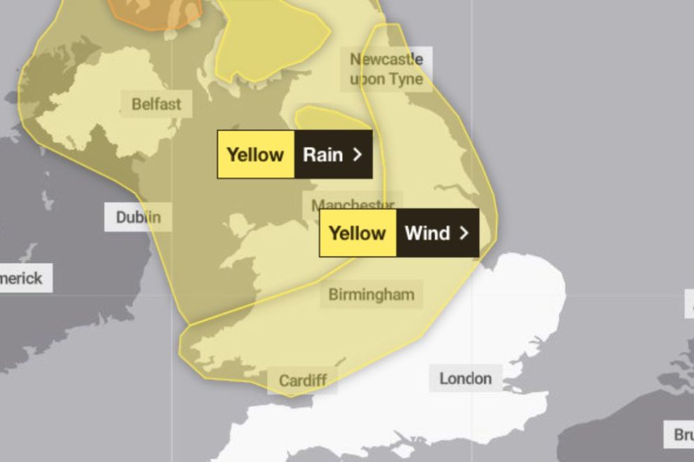
Two new yellow weather warnings have been announced for Wales this week as the UK braces itself for the impact of Storm Jocelyn.
Just as Storm Isha’s weather warnings in Wales and throughout the UK conclude on Monday (January 22), the Met Office has announced the imminent arrival of another storm in the upcoming days.
Storm Jocelyn is set to become the 10th named storm within a span of five months.
The first warning is effective from midday on Tuesday until 15:00 GMT on Wednesday, while the second extends from 16:00 on Tuesday until 13:00 on Wednesday. Forecasters anticipate gusts reaching up to 70mph (112 km/hr), leading to further travel disruptions.
The initial warning encompasses Blaenau Gwent, Bridgend, Caerphilly, Cardiff, Carmarthenshire, Ceredigion, Merthyr Tydfil, Monmouthshire, Neath Port Talbot, Newport, Pembrokeshire, Powys, Rhondda Cynon Taf, Swansea, Torfaen, and Vale of Glamorgan.
Meanwhile, the second warning is applicable to Ceredigion, Conwy, Denbighshire, Flintshire, Gwynedd, Isle of Anglesey, Powys, and Wrexham.
The strong winds linked to the yellow weather warning are expected to result in:
- Disruptions to road, rail, air, and ferry services, potentially leading to extended journey times.
- Coastal routes, seafronts, and coastal communities being impacted by spray and/or large waves.
- Potential delays for high-sided vehicles on exposed routes and bridges.
A Met Office spokesperson said: “A spell of strong winds associated with Storm Jocelyn is expected to develop across this region during Tuesday afternoon, peaking overnight into Wednesday morning, before easing across most areas by midday.
“However, winds are likely to remain strong across and just to the east of the Pennines until early Wednesday afternoon.
Storm Jocelyn’s arrival closely follows Storm Isha, which not only left thousands of homes in Wales without power but also unleashed gusts reaching up to 90mph (144km/h).


