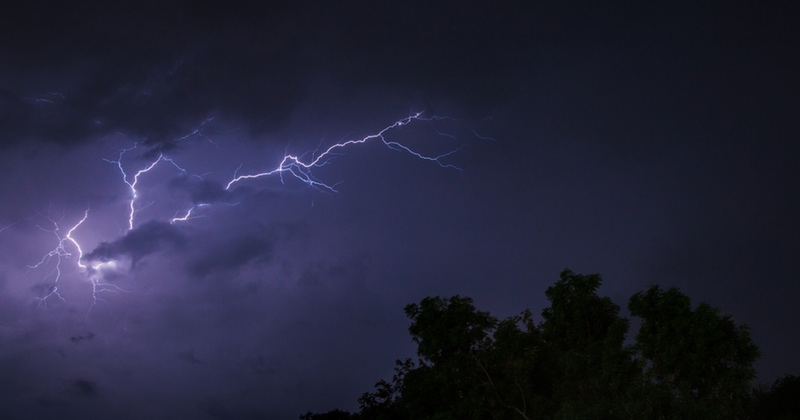
HEAVY showers and thunderstorms are expected to develop on Tuesday afternoon (21 May), prompting the Met Office to issue a weather warning. Initially covering parts of south-west England, the warning has now been extended to include most of Wales.
An area of low pressure is set to approach the UK from the east on Wednesday, bringing heavy and potentially prolonged rainfall. The precise path of this low-pressure system will determine the amount of rainfall over land and how far west the heavy rain will extend across the UK.
The yellow weather warning will be in effect from noon until 9pm on Tuesday, encompassing a large portion of Wales. The warning indicates the possibility of 20-30mm of rain within an hour.
The warning states: “Heavy showers and thunderstorms are expected to develop during the afternoon across parts of southwest England, Wales and the West Midlands before slowly dying out during the evening. Many places will miss the worst, but where they do develop, some slow-moving and intense downpours are possible, giving accumulations of 20-30mm in around one hour, and a lower likelihood of 40-50mm in two to three hours in a few locations. Frequent lightning strikes and hail are also possible.”
In Wales, the warning covers the following areas: Blaenau Gwent, Bridgend, Caerphilly, Cardiff, Carmarthenshire, Ceredigion, Conwy, Denbighshire, Gwynedd, Merthyr Tydfil, Monmouthshire, Neath Port Talbot, Newport, Pembrokeshire, Powys, Rhondda Cynon Taf, Swansea, Torfaen, Vale of Glamorgan, and Wrexham.
Looking ahead to Wednesday, Deputy Chief Meteorologist Dan Rudman said: “Low pressure is going to influence our weather from the middle of this week, bringing some heavy rain to parts of the UK. Eastern areas are most likely to see the highest rainfall accumulations, though this will depend on the precise positioning of the low pressure. It is important to keep an eye on the forecast as the detail becomes clearer, and it is possible Severe Weather Warnings will also be issued.”
As the low-pressure area moves north along the east coast of the UK, further rain and potentially gusty north-westerly winds may affect parts of southern Scotland and northern England on Thursday.
The Met Office predicts that the low pressure will gradually weaken by the end of the week, allowing a ridge of higher pressure to develop by Friday afternoon. This will bring a brief period of more settled weather for many. However, on Saturday, a front from the Atlantic may bring a band of rain to Northern Ireland and western parts of Scotland. This rain is expected to become lighter as it slowly moves eastwards across the UK through the remainder of the weekend.


