

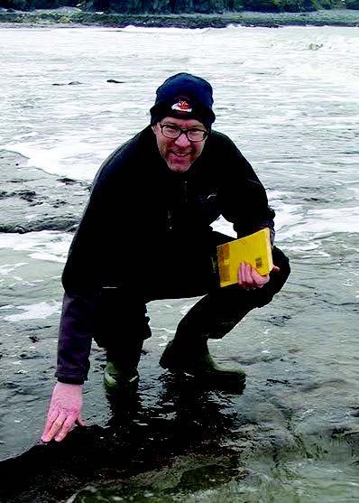
landscape: Dr Martin Bates
AN ARCHAEOLOGIST from the University of Wales Trinity Saint David will be involved in a ground-breaking project to reconstruct an ancient landscape now hidden beneath the North Sea.
Archaeologists, molecular biologists and computer scientists will work together to digitally re-construct a prehistoric country approaching the size of Ireland that, following climate change after the last Ice Age, was covered by rising sea levels and now lies beneath the North Sea.
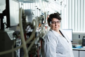
Dr Martin Bates, a geo-archaeologist at UWTSD in Lampeter, will work alongside the project lead Professor Vince Gaffney (University of Bradford), Professor Robin Allaby (University of Warwick), Dr Richard Bates (University of St Andrews), Dr Eugene Ch’ng (University of Nottingham), Dr David Smith (University of Birmingham) and independent researcher Dr Simon Fitch.
Using modern genetics and computing technologies researchers will digitally repopulate this ancient country, called Doggerland, monitoring its development over 5000 years to reveal important clues about how our ancestors made the critical move from hunter-gathering into farming.
Funded by a prestigious €2.5 million Advanced Research Grant from the European Research Council, the project will transform our understanding of how humans lived in this area from around 10,000 BC until it was flooded at the end of the last ice age around 7,500 years ago.
Dr Martin Bates said: “For the first time in the North Sea, we will be able to carry out a targeted and purposive investigation of a series of sites on the seabed. Previously archaeologists have had to rely on samples from locations selected because of impact on the sea bed. In this project we have the chance to pick our sample locations and this should allow us an unprecedented look at how this landscape changed before and during transgression.
“The team will be using the vast remote sensing data sets generated by energy companies to reconstruct the past landscape now covered by the sea. This will help to produce a detailed 3D map that will show rivers, lakes, hills and coastlines in a country which had previously been a heartland of human occupation in Europe but was lost to the sea as a consequence of past climate change, melting ice caps and rising sea levels.
“Alongside this work, specialist survey ships will recover core sediment samples from selected areas of the landscape. Uniquely, the project team will use the sediments to extract millions of fragments of ancient DNA from plants and animals that occupied Europe’s ancient coastal plains. The cool, underwater environment means that DNA is better preserved here and offers archaeologists a unique view of how society and environment evolved during a period of catastrophic climate change and in a prehistoric country that had previously been lost to science and history.”
The data from seismic mapping and sedimentary DNA, along with conventional environmental analysis, will be combined within computer simulations, using a technique called ‘agent-based modelling, that will build a comprehensive picture showing the dynamic interaction between the environment and the animals and plants that inhabit it throughout the period – around 5000 years.
Professor Vince Gaffney said: “This project is exciting not only because of what it will reveal about Doggerland, but because it gives us a whole new way of approaching the massive areas of land that were populated by humans but which now lie beneath the sea. This project will develop technologies and methodologies that archaeologists around the world can use to explore similar landscapes including those around the Americas and in South East Asia.”


Add Comment