Few can deny that Cardigan Castle remains something of an enigma.
This, we’ve been told, was the site of the first Welsh Eisteddfod in 1176 as well as being the first recorded stone castle, built by the mighty Lord Rhys in the twelfth century.
But when it comes to the lay of the land, nobody really knows what this majestic Welsh stronghold would have once looked like.
Now, thanks to a grant awarded through Ceredigion County Council’s LEADER scheme, a major geophysical survey could unveil some of the mysteries surrounding its former appearance.
And if early predictions are accurate, this could include the hall in which that very first Eisteddfod was held.
“This is undoubtedly the best chance we’ll ever get at finding out what could still be lying beneath the surface,” said local historian and Cardigan Castle expert Glen Johnson.
“Despite the fact that we’ve learnt a lot about Cardigan Castle over the years, the layout of the site remains a mystery. We have a lot of theories, but what we need is some evidence of what was there.
“A geo-physical survey has never previously been carried out at the castle despite the fact that our team of volunteers has worked hard for a number of years to try and make it happen.”
The survey will be carried out using two techniques, namely ground penetrating radar which sends sound waves into the ground which bounce back once they hit a solid structure, and the electrical resistivity technique where spikes will feed an electrical current into the ground which then register the resistivity that lies beneath.
“So if you have something such as a filled-in ditch or a pit that becomes waterlogged, then it sends out a low resistivity,” explained Glen. “But if it hits a wall or something solid, then a high resistivity is sent out.”
Glen went on to say that geo-physical surveys such as this are an integral means of determining how ancient buildings such as this were structured.
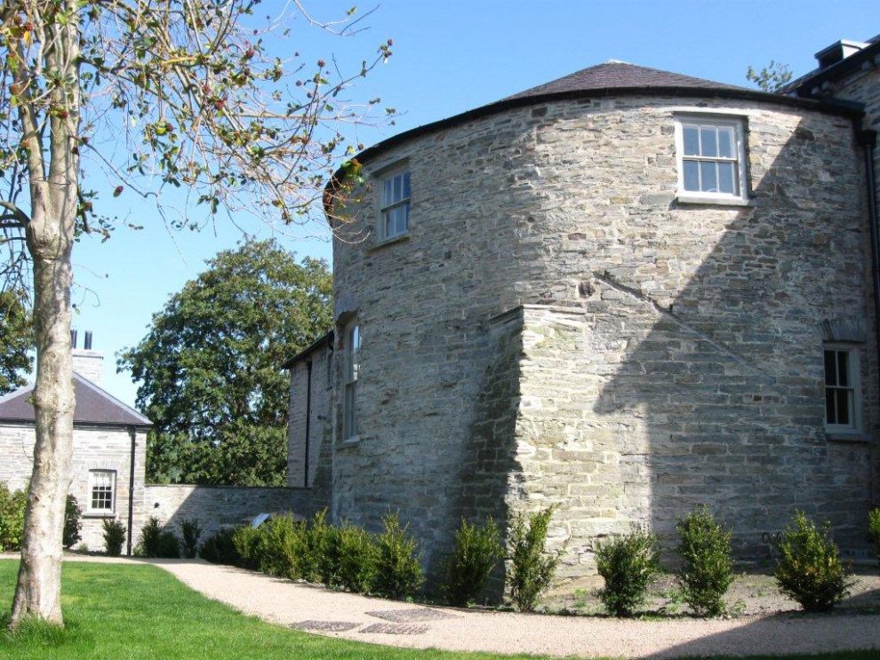
“Archaeology works on the principle that we work from the known to the unknown. So in this case we know that we have a couple of towers and a wall on the east side of the site which gives us a good idea of where the castle boundary was. But at least one floor of the east tower remains buried.
“So the ground radar may pick up how far that wall extends into the castle grounds from the tower. And the exciting thing is that this is likely to include the castle hall. Although the castle was built around 1244, the hall would have remained in precisely the same location to where it was in the first Eisteddfod back in 1176.
“And this would naturally be a key find.”
But whatever the geophysical surveys may detect, it is highly unlikely that any further archaeological excavation works will be carried out in the near future.
“Archaeology can be another form of destruction,” continued Glen.
“If we dug down to Lord Rhys’s hall, then we would destroy all the post-medieval architecture of the site. We’d have to cut down trees, dig up paths and lawns, and naturally this is something that would never be allowed to happen.
“But knowing what’s down there will help us to manage what’s happening on the surface more carefully.
“it will also mean that future generations may possibly be able to take a different approach. But in the meantime, it will help us to make decisions concerning the interpretation of the site.”


